
Location & accessibility
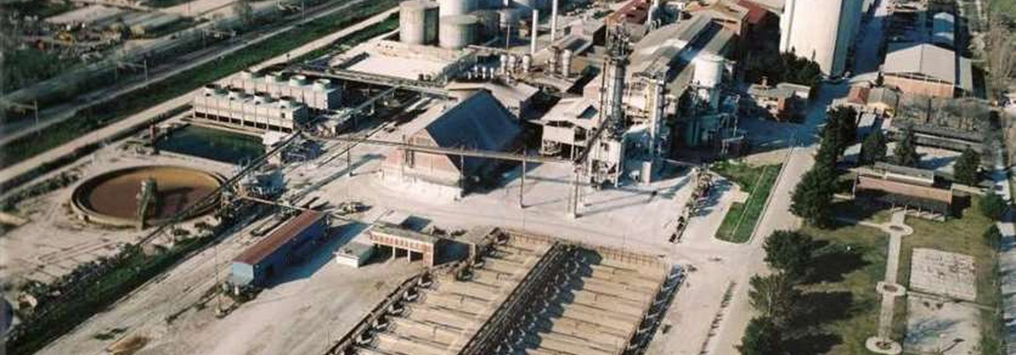
The proposed location is at the premises of the former sugar factory, in the Municipality of Kileler, a few kilometres from the centre of Larissa.
The project site on the map
Accessible alternative to the map
Address: Former sugar factory (EBZ) premises, Municipality of Kileler, 415 00 Larissa, Greece.
Coordinates: 39.677888° N, 22.454344° E · Plus Code: MFH3+9W Κιλελέρ 415 00
| Point | Coordinates | Note |
|---|---|---|
| Proposed location of the intermodal centre | 39.677888, 22.454344 | Centre of the former factory site |
| Checkpoint 01 — Main Gate | 39.6810, 22.4570 | Indicative position towards the road axis |
| Checkpoint 02 — Auxiliary Gate | 39.6745, 22.4512 | Indicative position, service access |
| Larissa city centre | 39.6390, 22.4191 | Indicative distance ≈ 6 km |
Access directions by mode
By road
The site adjoins the country's principal road axis. The Main Gate (Checkpoint 01) is planned on the eastern side of the parcel, towards the road axis, so that trucks do not pass through the local road network.
By rail
The site lies immediately next to the main Athens–Thessaloniki rail axis. The proposed scheme provides for 1,200 m of in-terminal track, supporting full-train operation.
Maritime connection
The commercial port of Volos is Thessaly's sea gateway. Its contribution to freight traffic is examined in detail in WP1.
Access for persons with disabilities
A freight terminal is a high-risk environment. For this reason, visitor access is planned by escort only and by prior appointment.
- Accessible parking bays in Parking Area 02, close to the entrance of the Administrative Buildings.
- An accessible visitor entrance and accessible toilets in the Administrative Buildings.
- Escort within the terminal by a member of staff, with personal protective equipment provided.
- Alternative communication channel: telephone support and, on request, arrangement of video interpretation in Greek Sign Language.